

Overview of the Merced River
The journey of the Merced Wild and Scenic River is nothing short of spectacular. From the Sierra Nevada crest in a World Heritage Site crown jewel national park, to foothill meadows and river-carved canyons, discover the Merced and its South Fork a one-of-a-kind river.
On November 2, 1987, the Merced River was designated by Congress as a Wild and Scenic River, becoming part of Wild and Scenic Rivers System. A free-flowing river, the Merced and its tributaries possess pristine water quality, and rare, unique values that set it apart from all other rivers in the nation. The Merced River flows from its source (including Red Peak Fork, Merced Peak Fork, Triple Divide Peak Fork, and Lyell Fork) in Yosemite National Park, to the normal maximum operating pool (water surface level) of Lake McClure (elevation 867 feet mean sea level). The South Fork - the Merced River’s largest tributary - flows from its source in Yosemite National Park and the community of Wawona, to the confluence with the main stem.
-
The National Park Service manages 81 miles of the river through Yosemite and El Portal, including both the Merced River’s main stem and the South Fork Merced River. Within the park, the river contains some of the world’s most admired scenery, including grand waterfalls, large mid-elevation meadows, and foothill canyons.
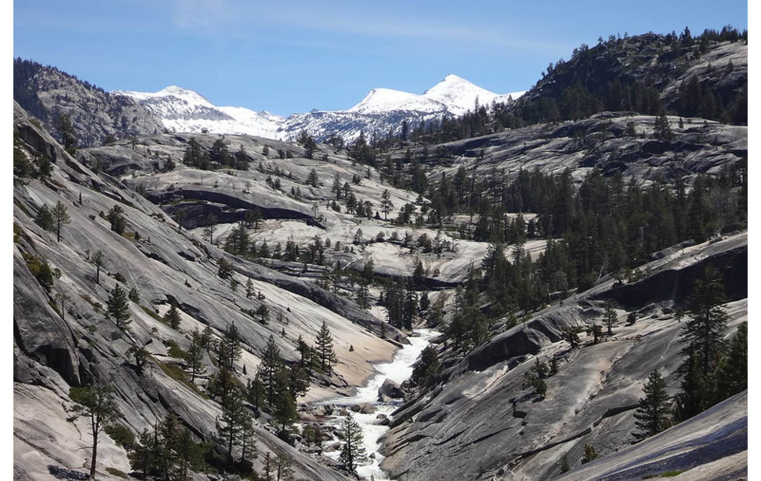
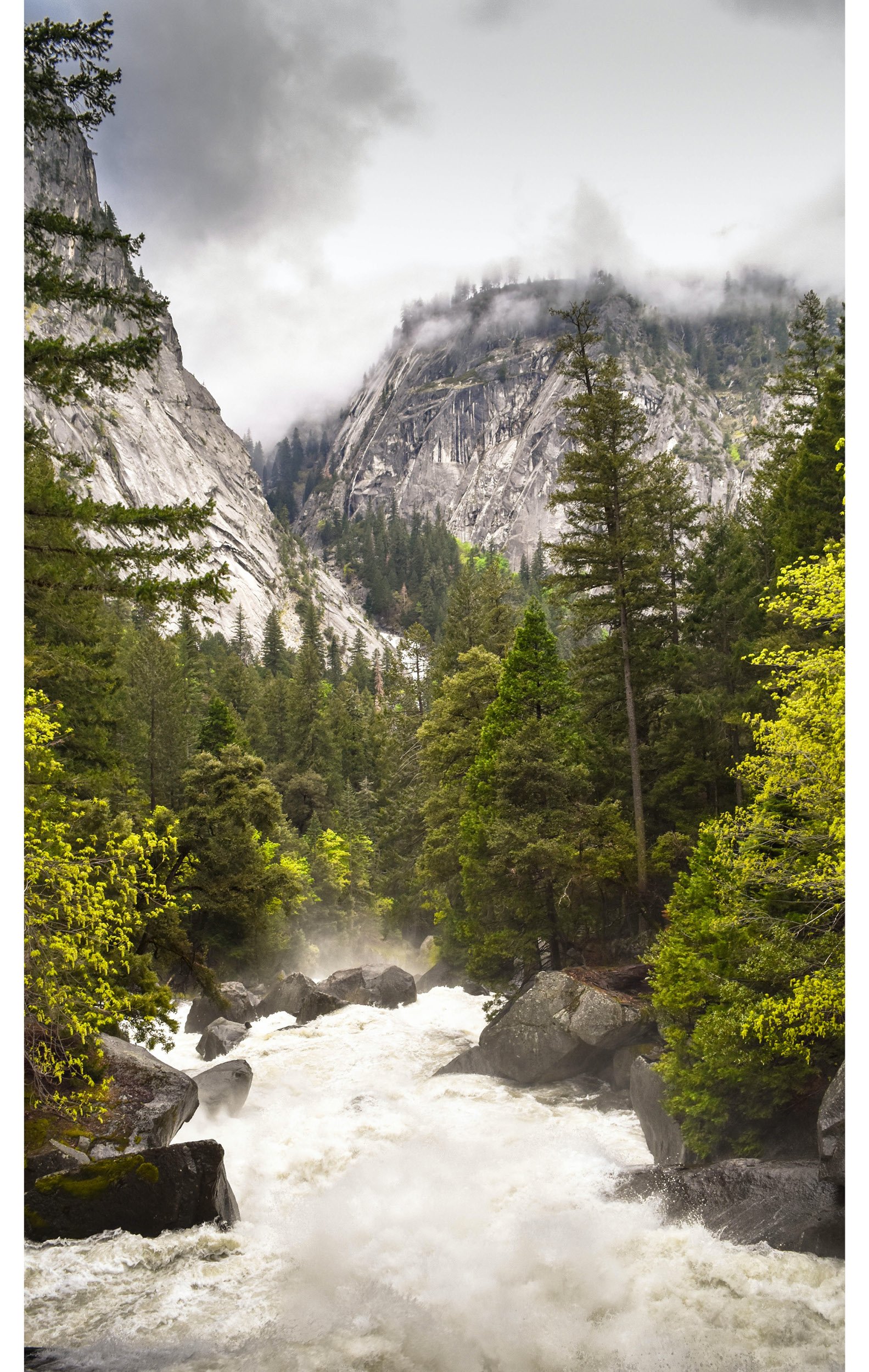
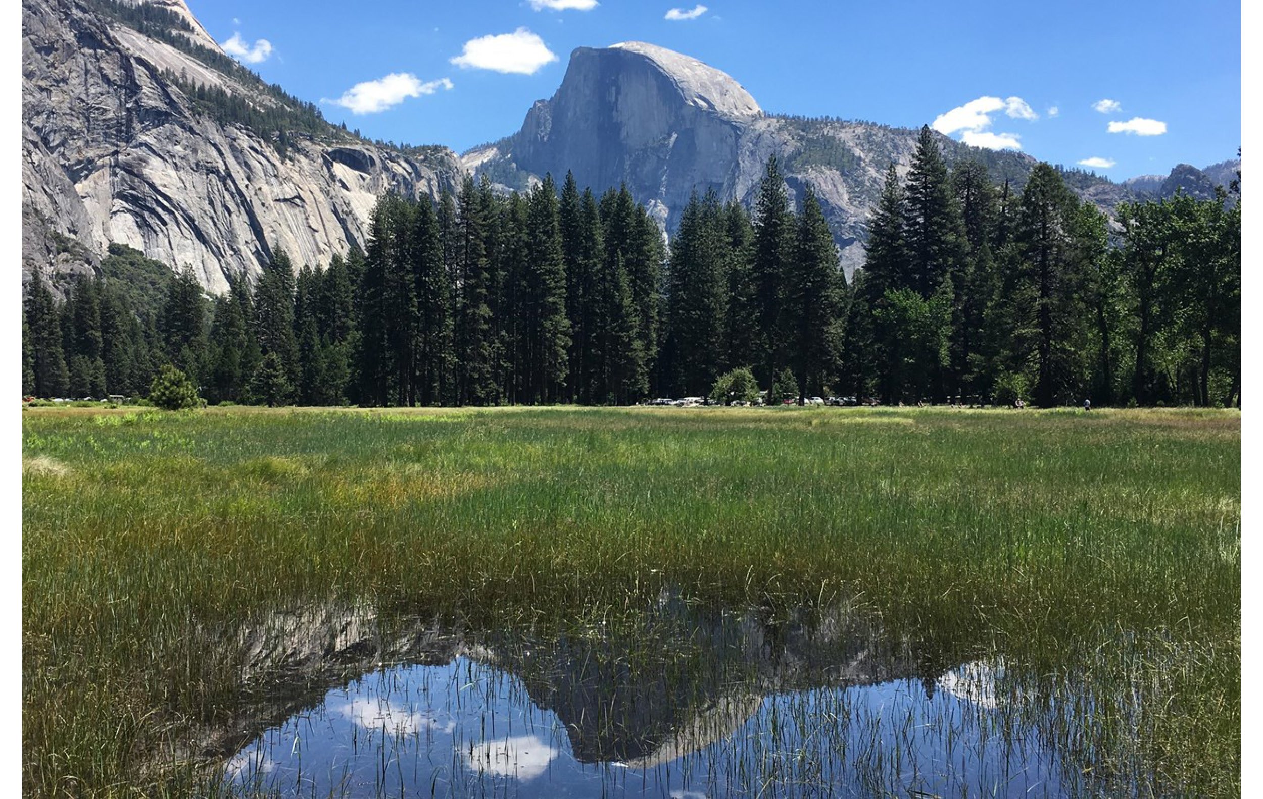
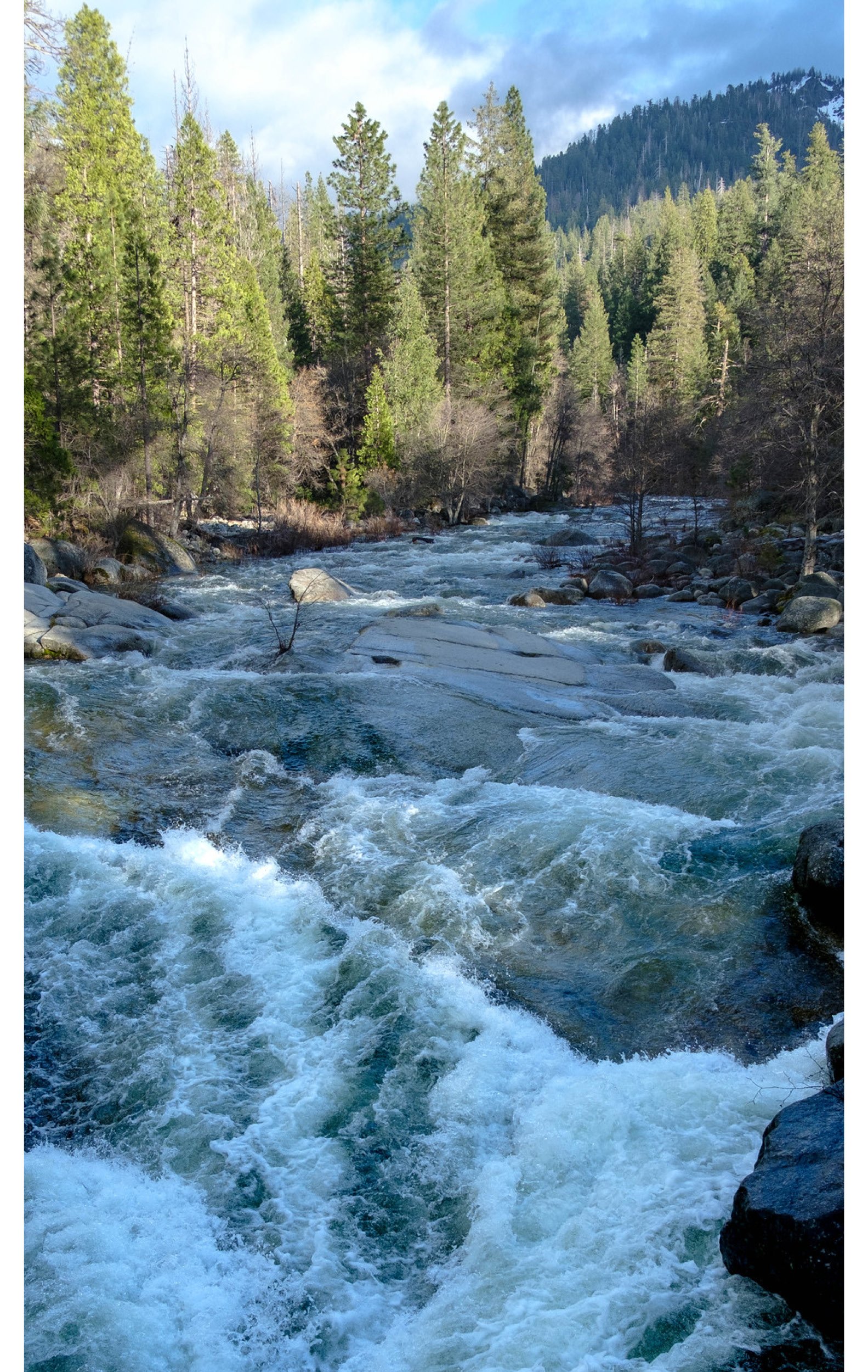
The headwaters of the main stem of the Merced River originate in Yosemite in several watersheds: the Lyell Fork, Triple Divide Peak Fork, Merced Peak Fork, and Red Peak Fork. These watersheds are at the far eastern side of the Merced River watershed. From its headwaters, the main stem of the Merced River flows freely through a wilderness landscape of alpine peaks, glacially carved valleys, and subalpine meadows. The river makes a dramatic entry into Yosemite Valley, rushing over towering cliffs in prominent waterfalls. As the gradient lessens, the Merced River meanders through the rich meadow and riparian habitat of Yosemite Valley.
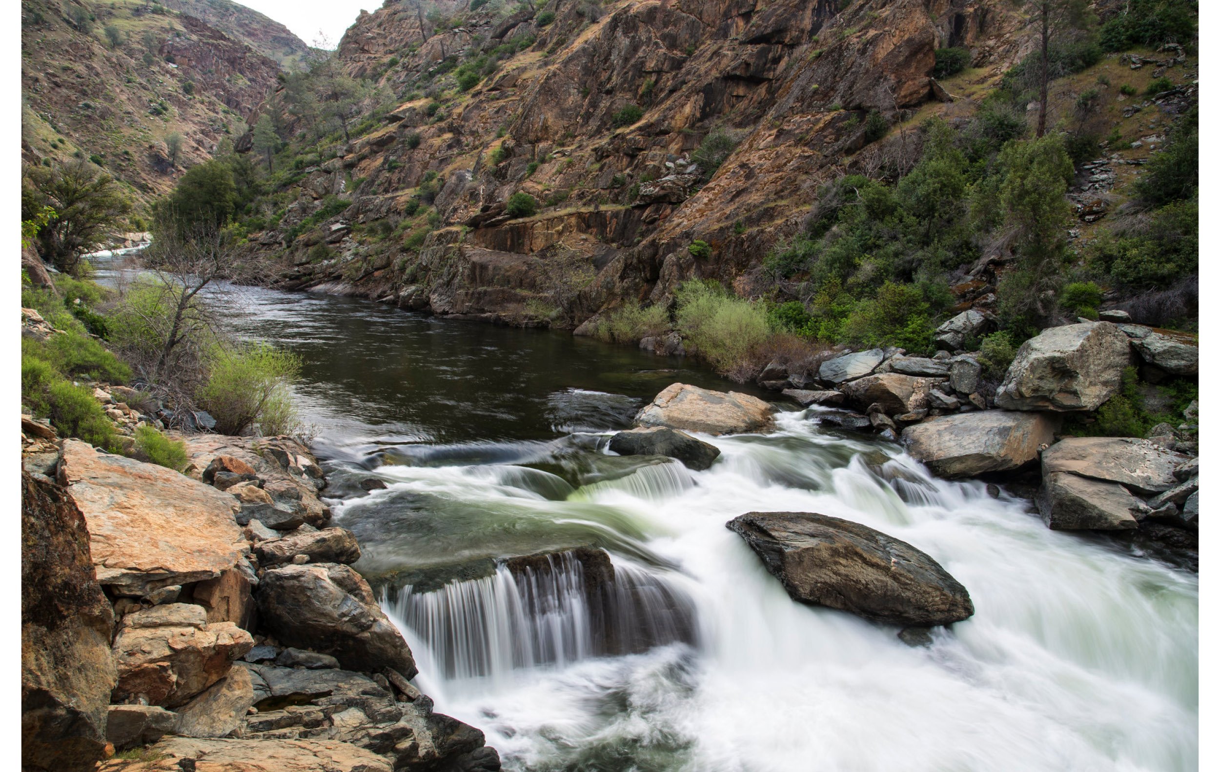
West of Yosemite Valley, the river narrows and enters the Merced River Gorge, a stretch of river that descends 2,000 feet in elevation over 6 miles. The dramatic crashing of water in spring is deafening as the river makes its way to a boulder-strewn riverbed in El Portal. The Foresta Bridge and Redbud Picnic area mark the end of the 81-mile section of Wild and Scenic River under National Park Service jurisdiction.
Lyell Fork (Andrew Purdam - Flickr)
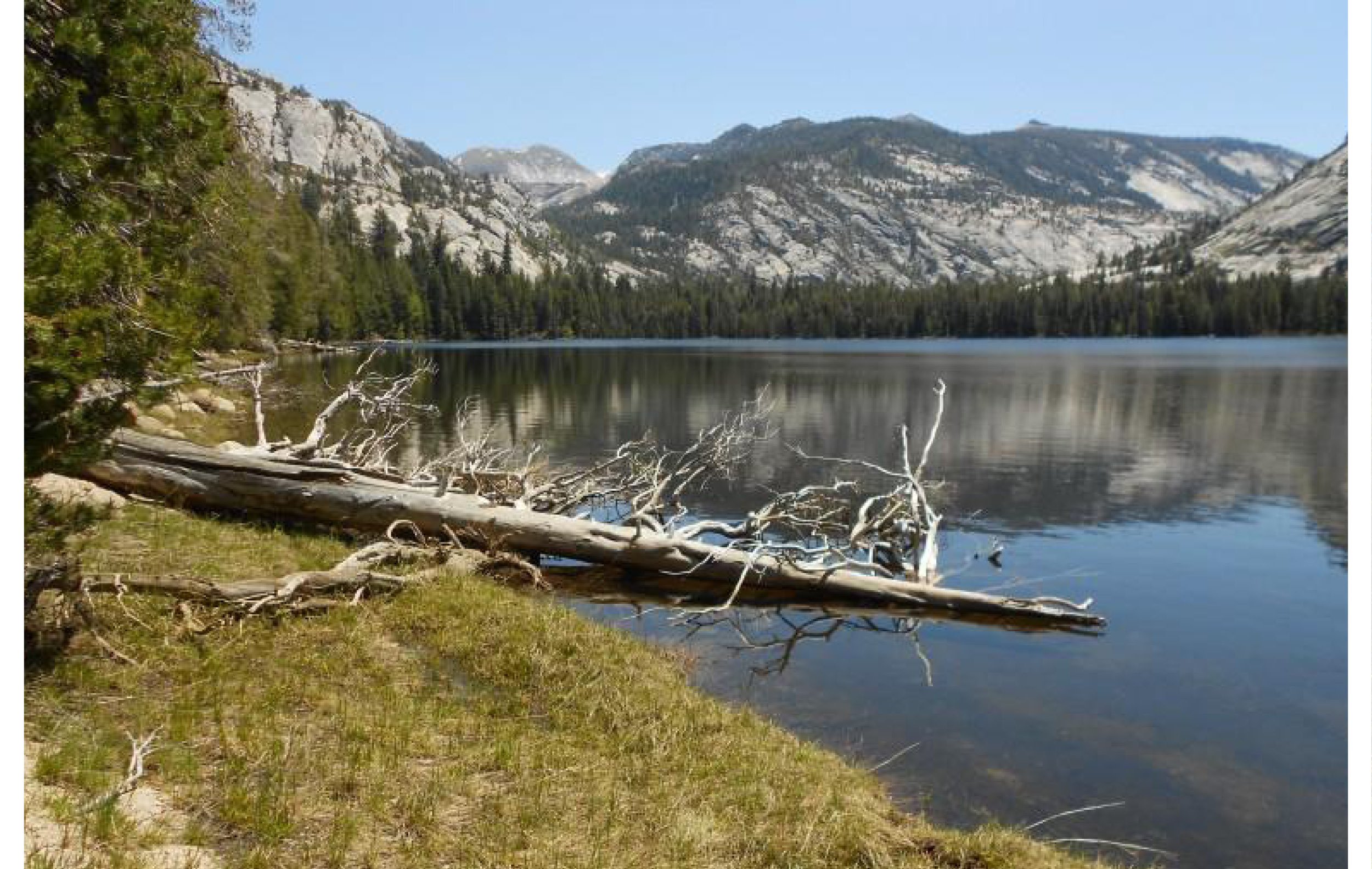
Merced Lake (Yosemite National Park)
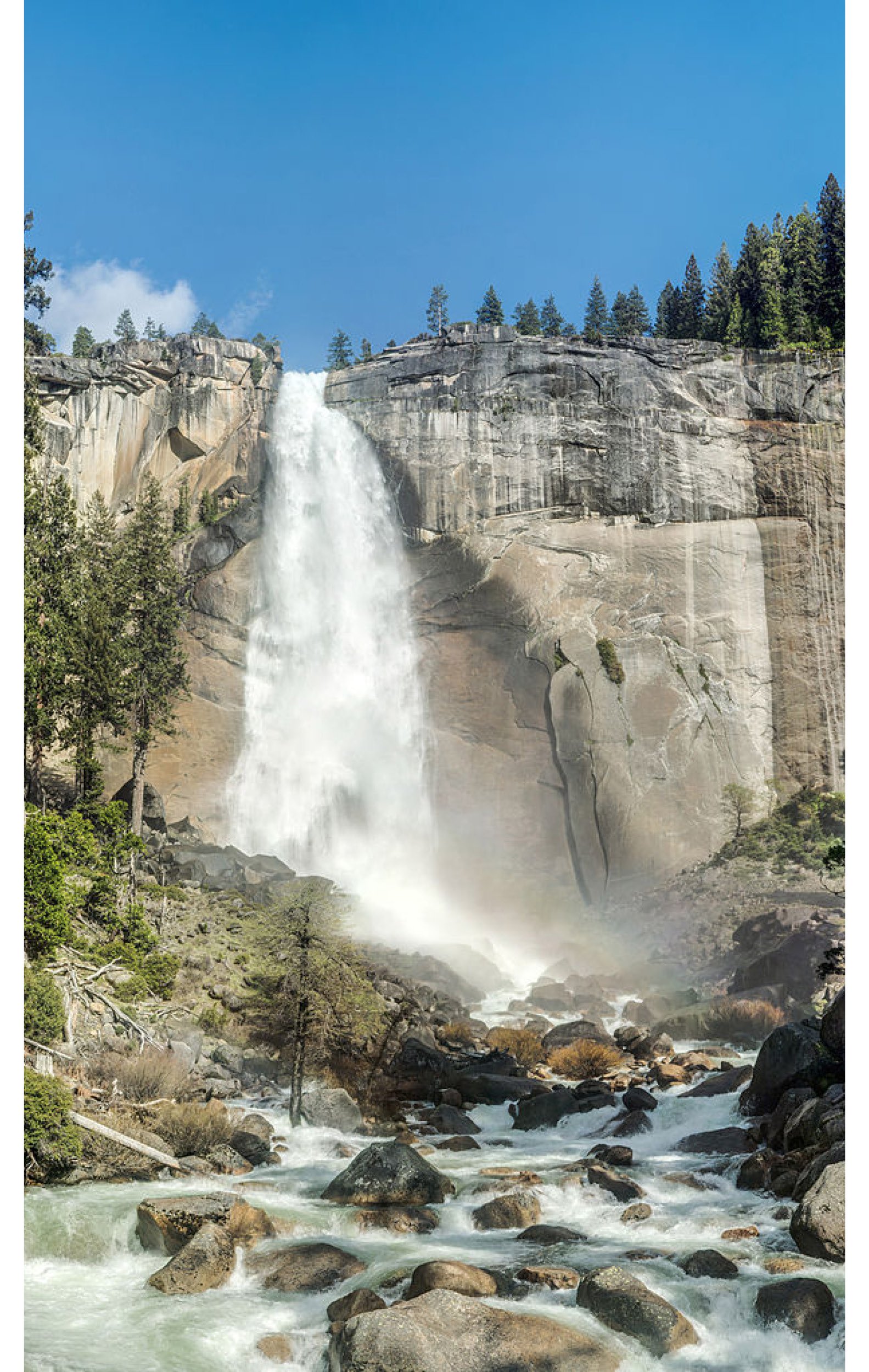
Nevada Fall (CreativeCommons - Diliff)
Merced River rapids through Yosemite Valley (John Ruddock)
Merced River sustains meadows in Yosemite Valley
Merced River through El Portal
-
The South Fork Merced River originates at the Sierra crest from the southwestern slopes of Triple Divide Peak and the west-facing slopes of Gale Peak and Sing Peak. The South Fork Merced River flows southwest through Yosemite Wilderness (south of the Clark Range) and the community of Wawona. Here, you can experience the historic Wawona Covered Bridge.
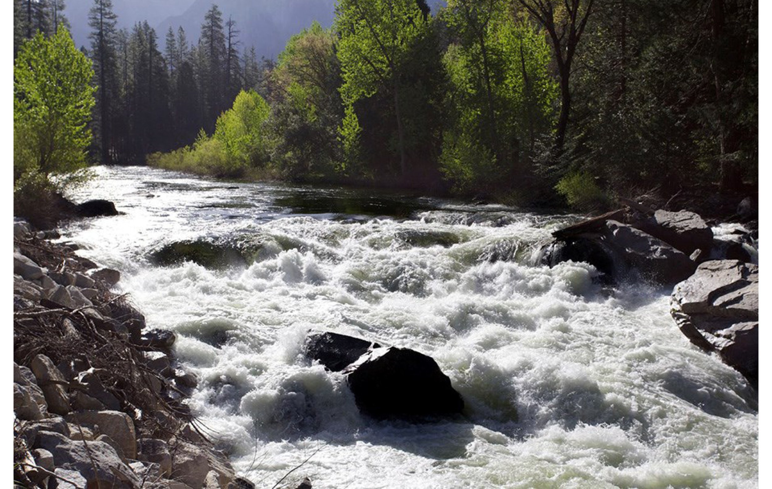
The South Fork Merced River exits Yosemite less than a mile west of the Wawona Campground. From here, it crashes through some of the wildest sections of river along steep, largely trail-less canyons, accessible only by cross-country foot travel. Expert kayakers make the trek to experience class V whitewater. From these wild reaches, the river flows through the Sierra National Forest to the confluence with the main stem of the Merced River, west of El Portal at Highway 140.
Historic Wawona Covered Bridge, along with South Fork near confluence with the main stem, near El Portal (Wayne Hsieh - Flickr)
South Fork wilderness (Bob Wick/BLM)
South Fork near Wawona (bgwashburn - Flickr)
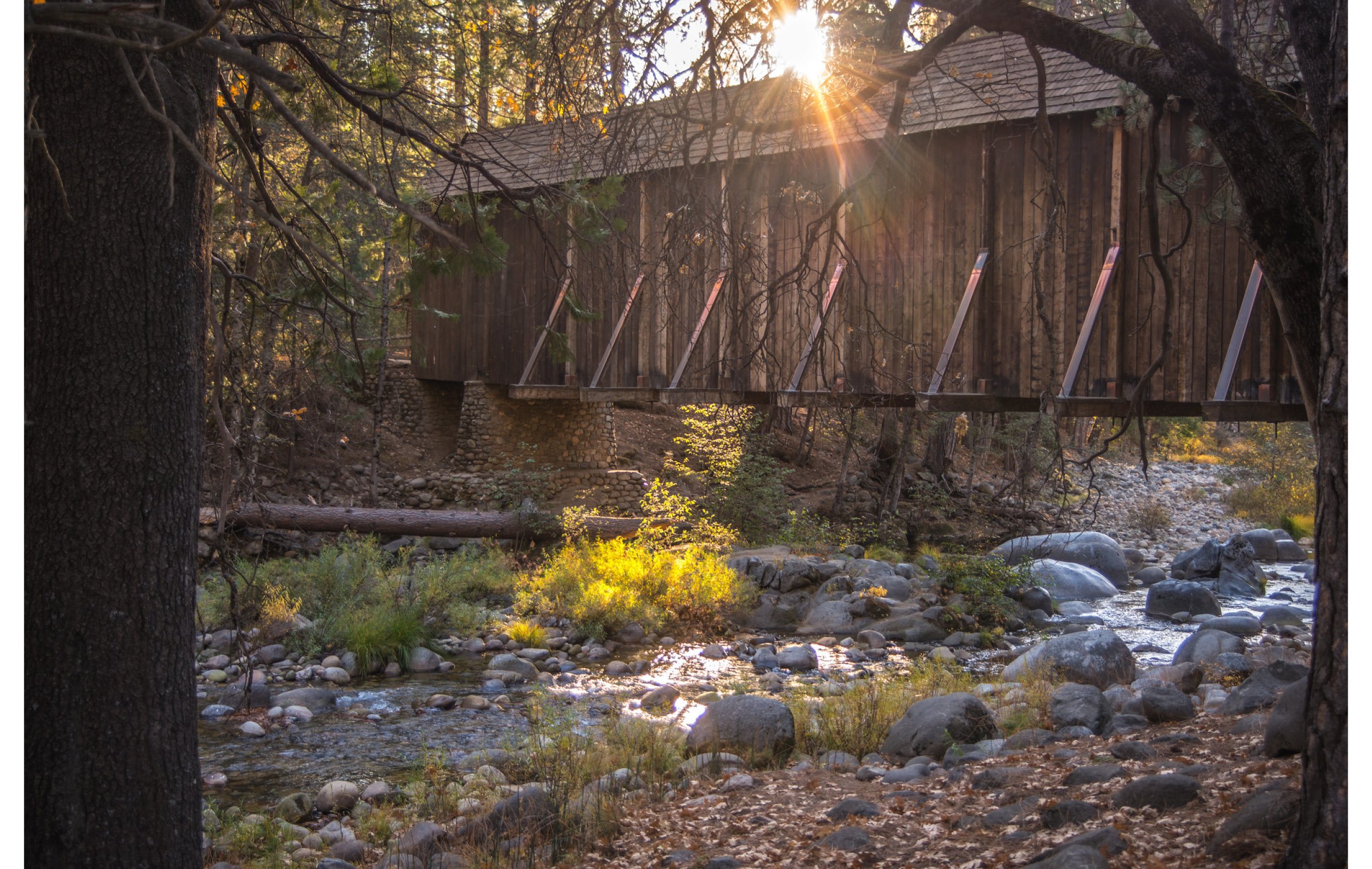
Wawona Covered Bridge (Wayne Hsieh - Flickr)
-
From the Redbud Picnic Area at Foresta Road Bridge through the Merced River canyon, the U.S. Forest Service (USFS) and the Bureau of Land Management (BLM) manage the 41 miles of the Wild and Scenic River outside of Yosemite.
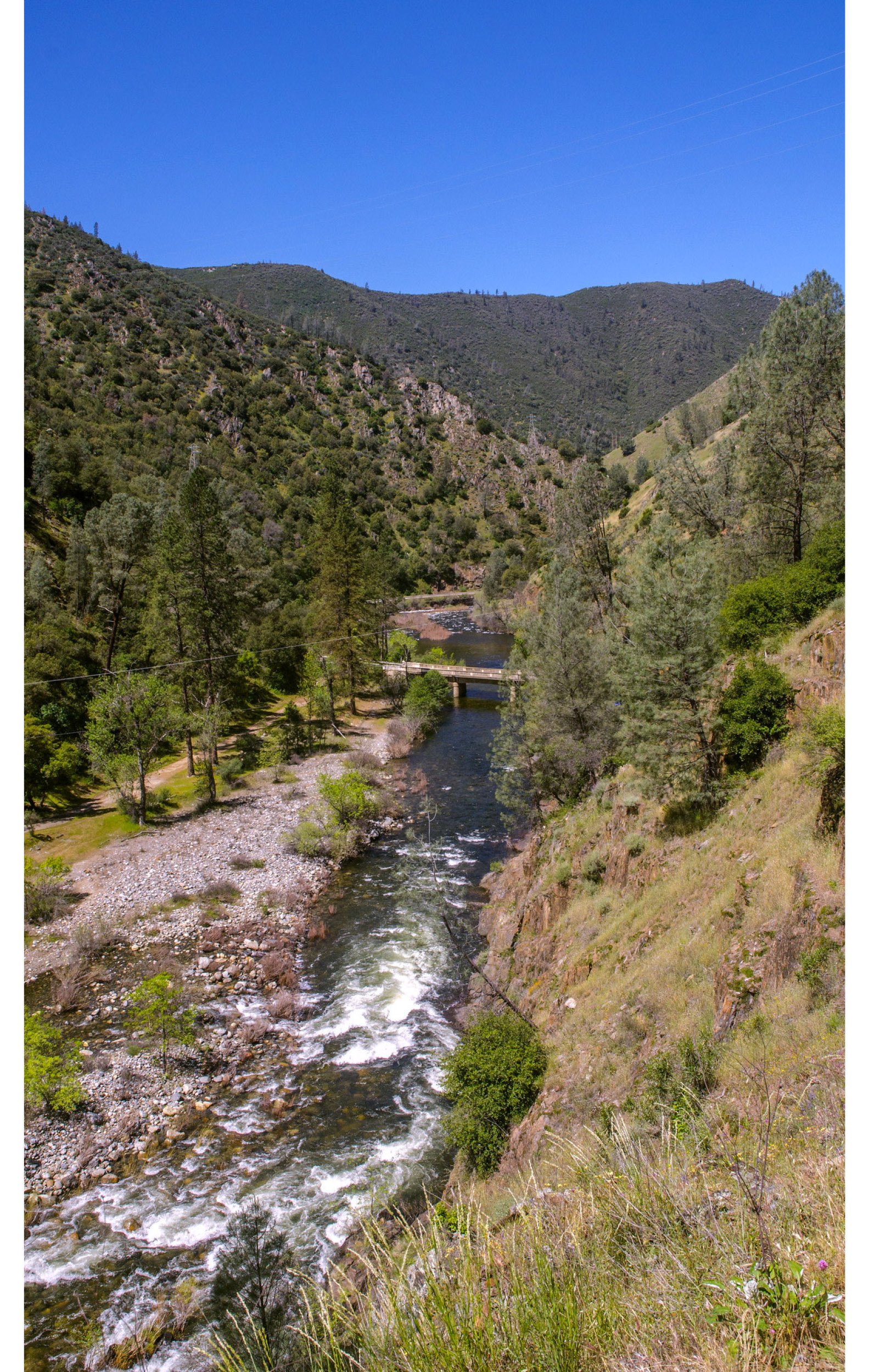
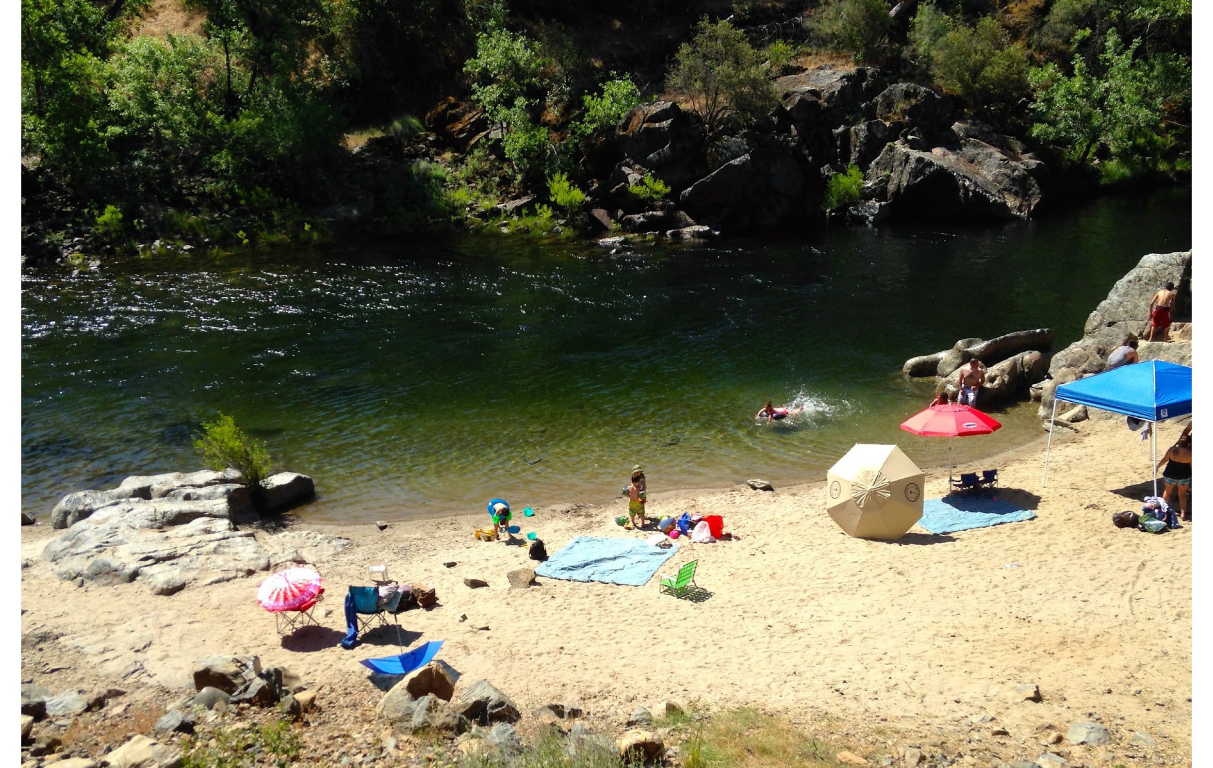
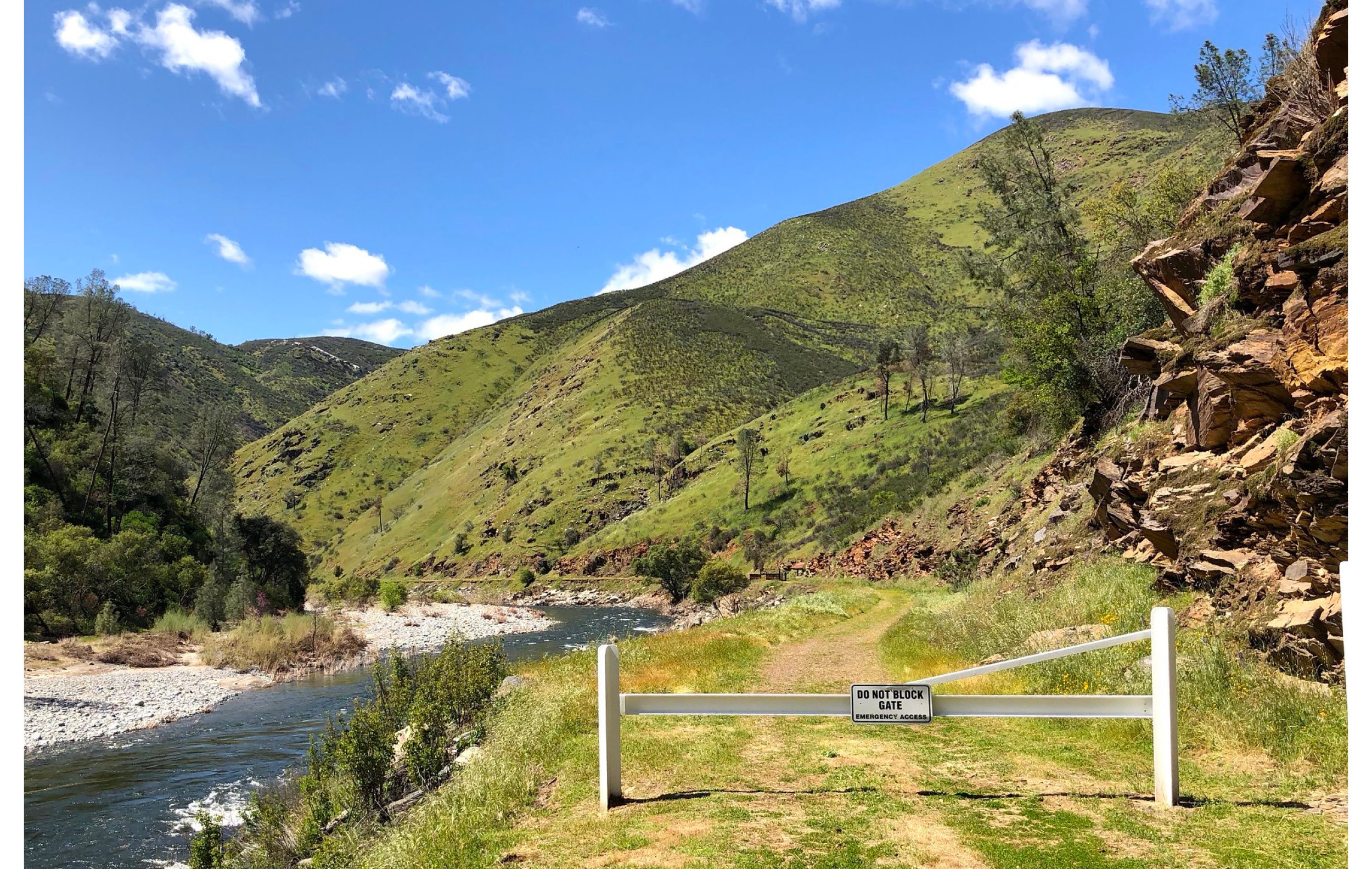
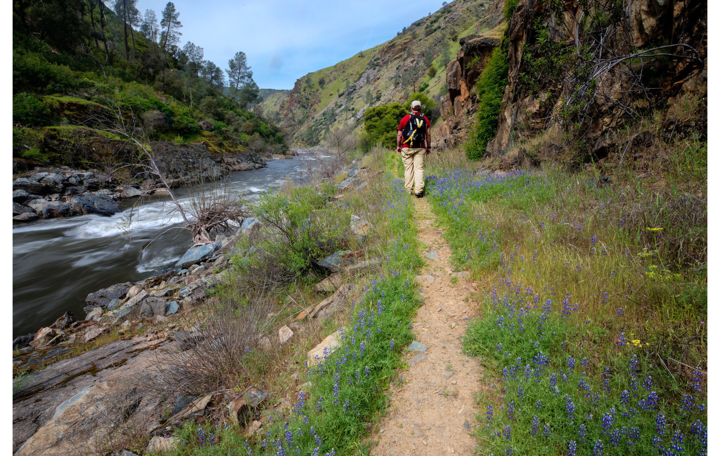
BLM manages 12 miles of this Wild and Scenic River along the Briceburg canyon. Through ample access points, rafters can experience class III and IV rapids at their own pace. Visitors can camp at nearby Willow Placer, Railroad Flat, and McCabe Flat campgrounds, explore the river along the Merced River Trail (a former railroad grade), or stop at the Briceburg Visitor Center.
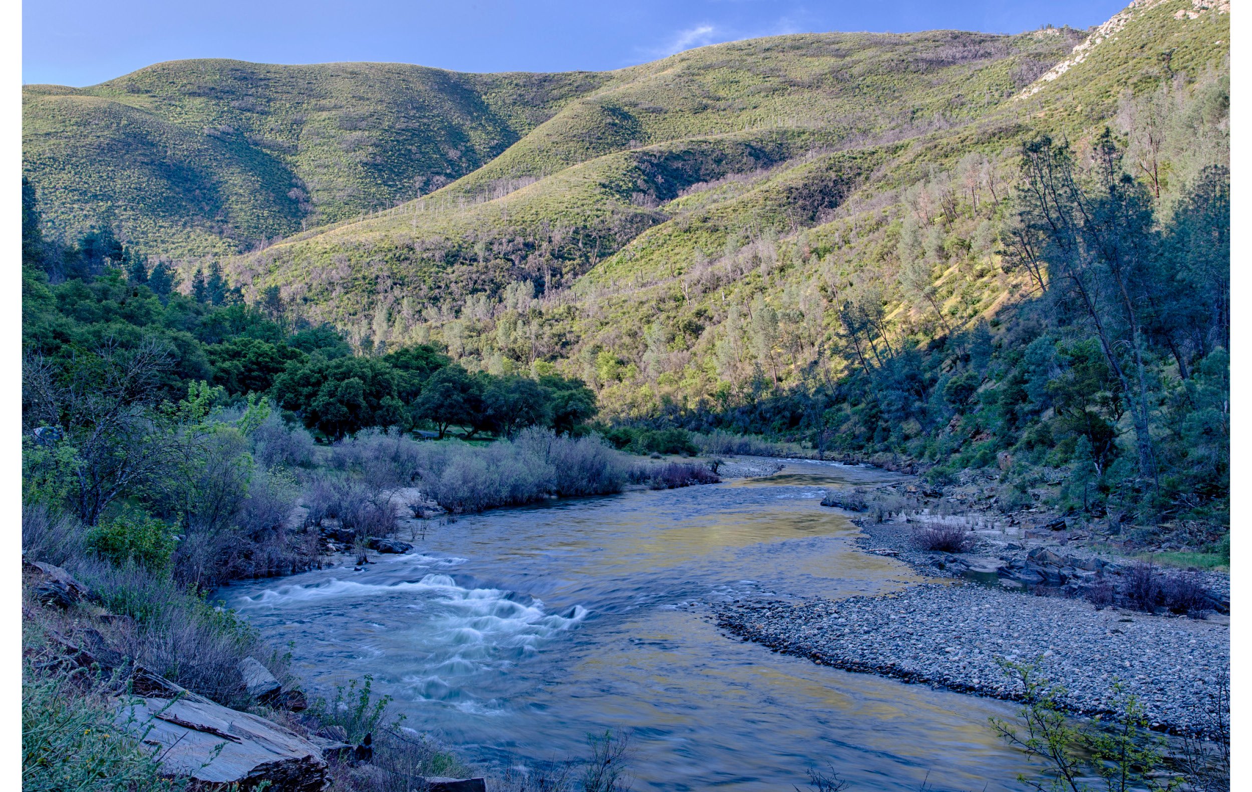
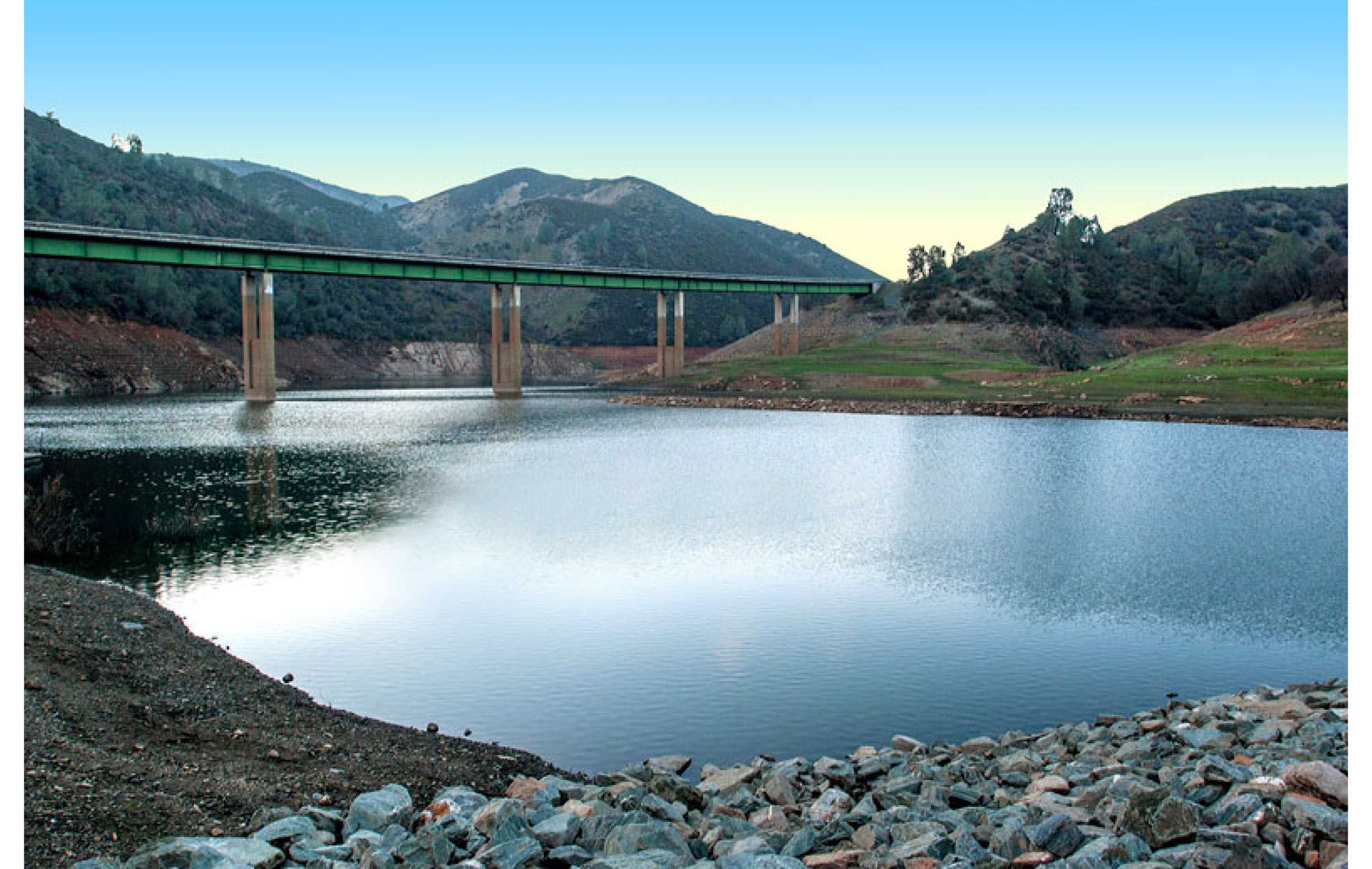
From Briceburg, the river meanders toward the final wild reaches of the Wild and Scenic River designation, meeting up with the North Fork Merced River. Just west of there, the river turns to reservoir as it enters Lake McClure near the Bagby recreation area, marking the terminus of the Merced Wild and Scenic River’s 122-mile corridor.
Merced River below Briceburg (BLM) and near its terminus at Bagby Recreation Area
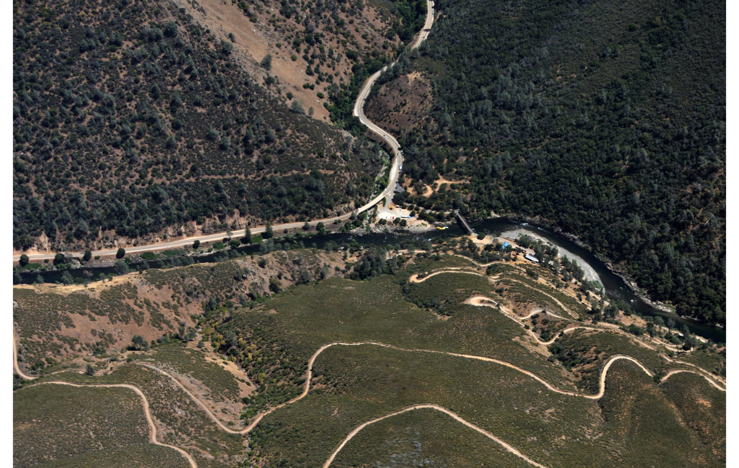
Aerial view of Briceburg at Highway 140 from the Burma Grade (Tom Hilton - Flickr)
Briceburg Recreational Area (BLM)
Lower Briceburg (BLM)
Highway 49 over Merced River towards Bagby (Noe Hill)


